


3.50 € tax excl.
Detailed one-sided tourist, cycling and ski map at a scale of 1:50 000 in the Slovak language version
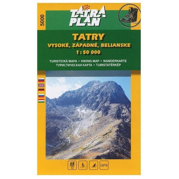
Detailed one-sided tourist, cycling and ski map at a scale of 1:50 000 in the Slovak language version. It shows the entire territory of the High, Western and Belianske Tatras in a scale of 1:50 000 from Zuberec and Habovka to the Tatra Basin. The map is very convenient for tourists moving in the area of Podbanský, Tichá and Kôprová dolina, because this area is uninterrupted there and 2 maps are not needed.
Detailed one-sided tourist, cycling and ski map at a scale of 1:50 000 in the Slovak language version